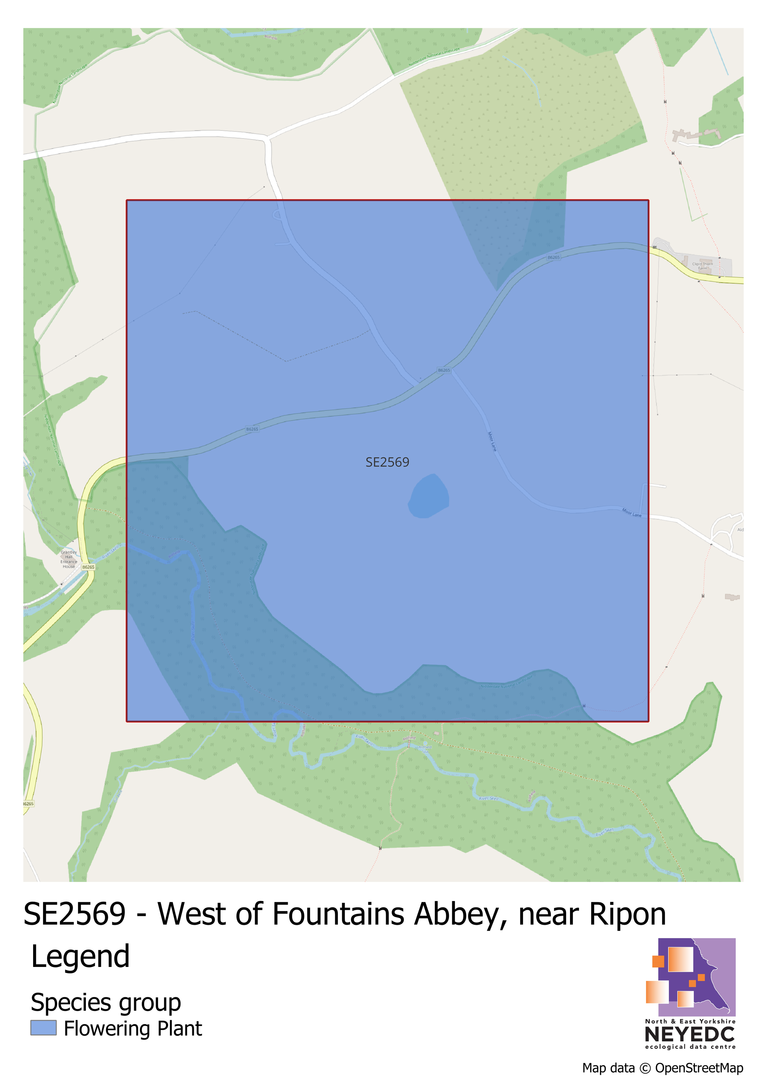
Our Monad of the Month for January 2026 is SE2569, located west of Fountain’s Abbey, and around 6km south-west of Ripon.
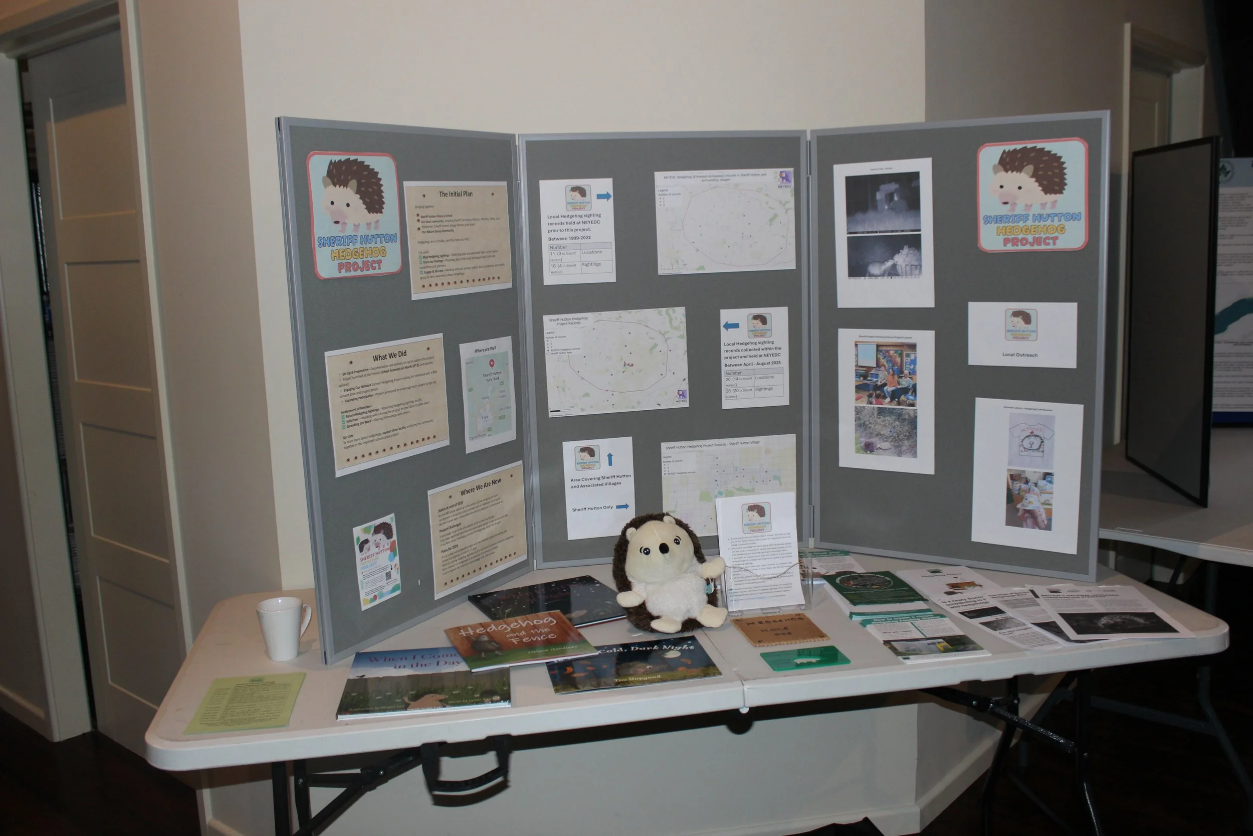
Read MoreOur next local recording community spotlight is on Sheriff Hutton Hedgehog Group, a group formed as an offshoot of Sheriff Hutton Nature Group, located approximately 10 miles north north-east of York.
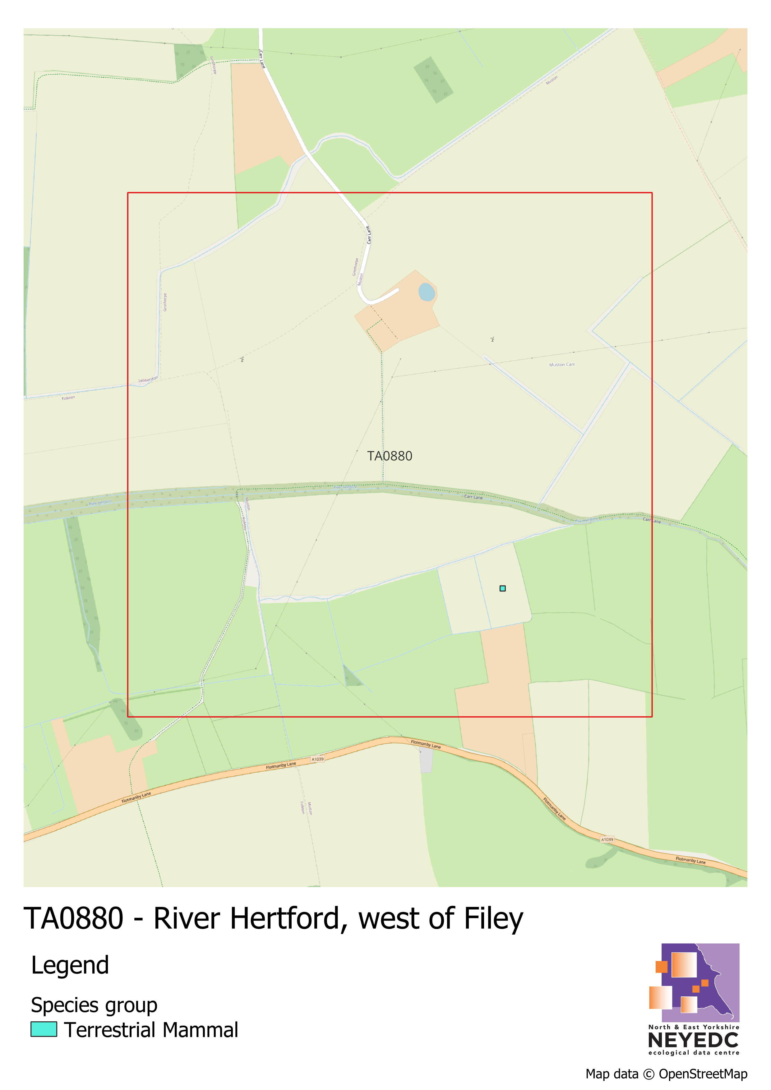
Read MoreOur Monad of the Month for December 2025 is TA0880, located across part of the River Hertford, west of Filey.
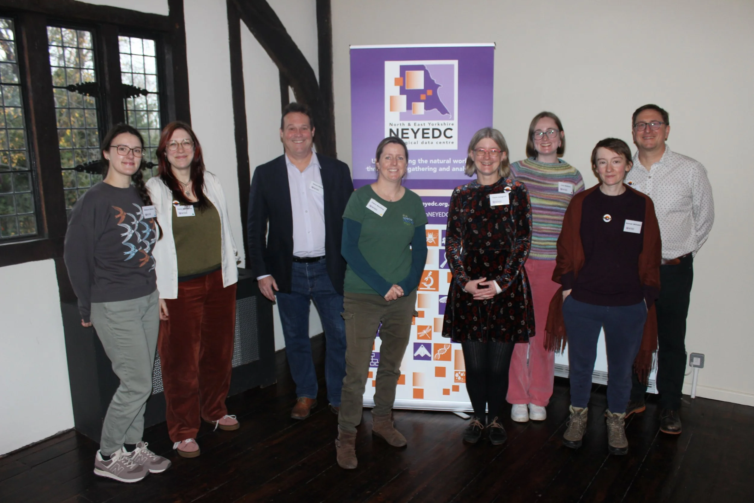
Read MoreOur celebratory 25-year conference took place this past weekend at the Hospitum, York: ‘Networks for Nature: a conference celebrating 25 years of NEYEDC’. Designed to mark 25 years of NEYEDC and the role of data in driving species recovery across the Yorkshire region, we welcomed speakers from across our network and were joined by attendees from all parts of our sector on the day. Read on for a summary of the day!
Read MoreOur Monad of the Month for November 2025 is SE3367, located south of Ripon City Wetlands.
Read MoreOur Monad of the Month for October 2025 is TA0286, located near Harland Mount, Scarborough.
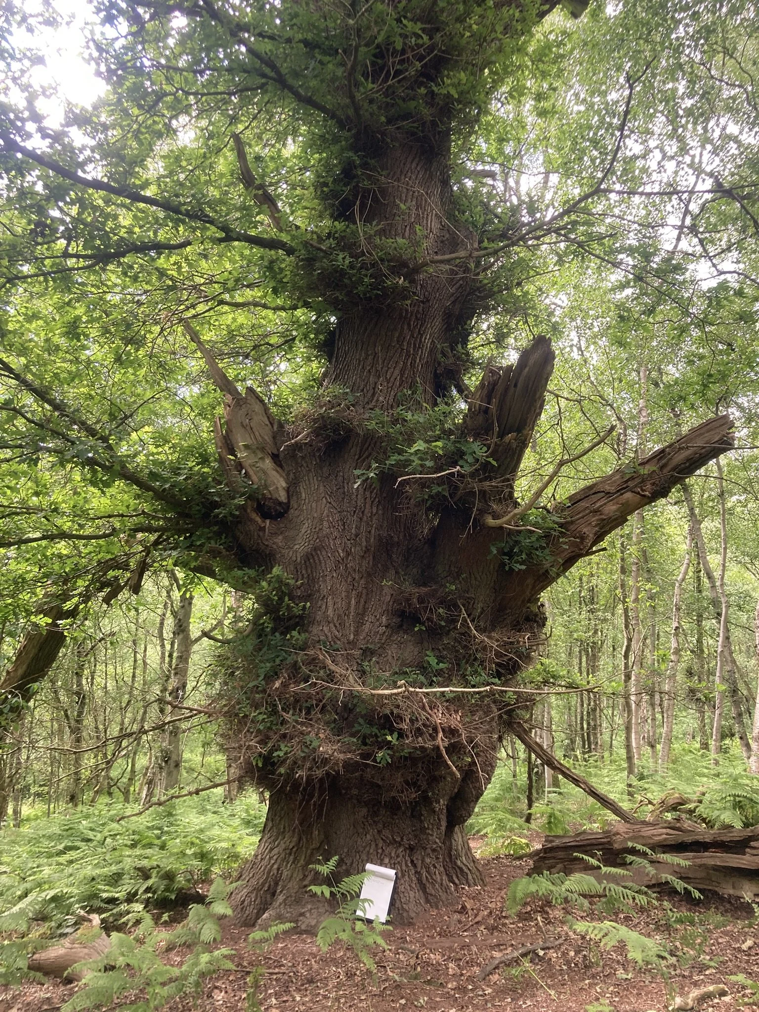
Read MoreCarrying on from our previous blogs, our Ecological Surveyor, Claire Bending, talks about the next steps in the process of updating the Ancient Woodland Inventory (AWI) - on-the-ground surveys.
Read MoreOur Monad of the Month for September 2025 is SE6447, containing part of Heslington Tillmire SSSI, south of York.
Read MoreNEYEDC is always keen to provide opportunities for people wishing to pursue a career in ecology, whether that’s in the form of volunteer support for those changing career, formal university internships or work experience and this summer was no exception.
Read MoreOver the past few months, NEYEDC have been working with East Riding of Yorkshire Council as part of the UK-wide, £30m Live Labs 2 project, recording wildlife and engaging the public to help understand how changes in road and signage lighting might affect nature.
Read MoreWelcome to our new series, Monad of the Month! This series will feature a monad (1km) grid square within the North and East Yorkshire area where we’re lacking records in our database. Our Monad of the Month for August 2025 is SE5759, located near Haxby, York.
Read MoreJuly’s Map of the Month shows species richness of Sphagnum at Askham Bog, York!
Read MoreJune’s Map of the Month shows records collected at the Kilnsey Park bioblitz!
Read MoreOn Friday 30th May, the full NEYEDC team travelled to Kilnsey Park Estate, in the North York Moors, supporting a 24-hour bioblitz of the park and the surrounding estate.
Read MoreMay’s Map of the Month shows research-grade record coverage from the Hull City Nature Challenge 2025!
Read MoreA few weeks ago, we received an exciting email from the Lincolnshire Chalk Streams Project regarding a record of a very interesting species on the River Foss. In over 20 years of collating and disseminating species records from across the entirety of North and East Yorkshire, with its varied habitats and sites, it’s unusual for us to receive a record of an animal that we can say quite confidently we had never heard of before!
Read MoreThe 5th of May 2025 marked the official end of the 2025 City Nature Challenge, and the end of Hull’s third year partaking in this global event. Read on to find out the official results!
Read MoreMarch’s Map of the Month shows a Ure Crayfish Plague Progression Map for 2020 - 2024!
Read MoreData is at the core of what we do as a Local Environmental Records Centre. This series shines a light on the breadth and variety of the records we receive and how we deal with them.
Read MoreFebruary’s Map of the Month shows Buglife’s Yorkshire Important Invertebrate Areas!
Read More