Our Services for Professionals
On this page you can find out information about the various services we provide to ecologists and professional consultants. This covers Data Search reports, Drone surveys, GIS analysis and mapping. Consultants can also find information about how to contribute data.
Ecological Data Search Reports
Our professional ecological data search service provides Statutory and non-Statutory site boundaries, habitat and species information to inform Planning Applications, Environmental Impact Assessments, Strategic Environmental Assessments, Management Plans, Woodland Creation Schemes and Farm Environment Plans. Our standard data search packages are based on a point and radius search of up to 2km. Polygon / line and buffer searches that cover an area larger than a standard 2km radius search will be charged on a sliding scale and will be automatically quoted for by My LERC.
If your requirements differ slightly from the pre-determined packages we offer, we suggest you select that which best meets your needs. For example, if you require 1km P&P Species & Local Sites, we recommend you choose our A1 1km P&P Species, Sites, and Habitats option. Similarly, if you require single-species data searches, for example, bat-only data at 2km, we recommend you select our D1 2km All Species package, which returns results which can be filtered to your needs.
You can use the ‘Notes’ section of the request to add additional information relevant to your request or use a Custom Search selection to create a package of search items that suit your needs, but please be mindful that all Custom Searches require a manual quote.
Results are returned using the eMapper system. You will be sent a unique link to an interactive map which shows your search results. From this platform you are also able to download full reports in excel, PDF, and shapefile format. Where available, Local Wildlife Site Citations are also provided for download in PDF format via eMapper. In the interactive window, toggle to show Sites, click on your site/s of interest, and the available documents will appear. These documents will also be included if you select to download a full PDF report of your search results. If you would like a full Local Wildlife Site Citation Survey Report in addition to the Citation, including full species list and habitat maps, please make this request via email, including the E0 number of your search and the site name and code you would like to request. Survey Reports are charged at £25.00 + VAT, the cost of which goes back into our LWS resurvey programme.
To create PDF maps in eMapper, set the mapping window to show what you’d like to present and select Menu > Print Map. In configuration, set the printer to ‘Save as PDF’ and save your map.
For a video demonstration of how to use the eMapper system, please click here.
For more detailed information about our Ecological Data Search service please follow the link below to MY LERC.
To request a data search
Check that your search area is within NEYEDC’s operating area by using the ALERC Find an LERC Map
Visit My LERC: https://my.lerc.online/?src=ne and choose NEYEDC from the list
Select ‘Make a Data Request’ and fill out the online form. You will be provided with a quote for the work before you submit the request, unless your search is bespoke and/or covering a large area
To complete the online form you will be prompted to tick the box to indicate that you have read and agreed to the terms & conditions laid out in the NEYEDC Electronic Data Licence and that you accept the quoted cost.
Once the request is submitted, we will endeavour to return the search results to you by the next working day for standard requests
You can track the progress of your search in the ‘My Account’ section of MyLERC
report chargEs
Charges are based on the area of the search. If your data search requirements cannot be automatically quoted for by My LERC we will provide a bespoke quotation
Species only data search
From £85.00 +VAT
Standard Data Search
From £170.00 +VAT
commercial data licences
Large-scale development schemes where a standard Ecological Data Search package is not suitable, for example, highways or railway upgrades, power cable routes or landscape-scale projects, are covered by bespoke Commercial Data Licences. Further information can be found clicking the link below, or by contacting us on info@neyedc.co.uk
Drone Surveys
NEYEDC operates a Sensefly eBee Unmanned Aerial Vehicle (UAV) which is capable of capturing aerial imagery in both the visible spectrum as well as near Red-edge wavelengths. NEYEDC holds a CAA Permission for Commercial Operations (PfCO) as well as having two qualified UAV pilots.
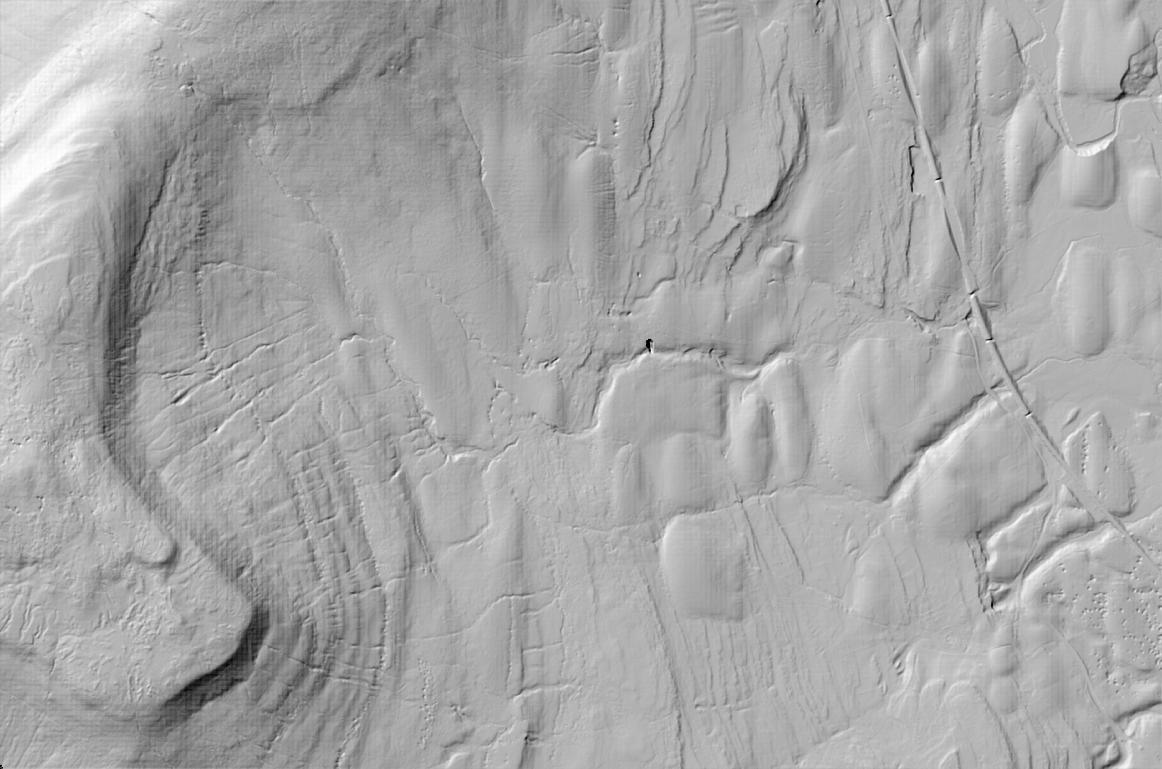
Our UAV setup is particularly suited to site survey jobs, and can produce aerial photography (in GeoTiff format) and digital surface models amongst other datasets. The UAV has been successfully used in several projects including coastal habitat monitoring, upland peat moor hydrological modelling and submerged vegetation mapping at a nature reserve site.
Undertaking a Drone survey at Yorkshire Arboretum. Copyright NEYEDC
GIS mapping, analysis and modelling
We provide complex GIS analysis and modelling services and have delivered many projects related to habitat suitability modelling, green infrastructure and ecological network mapping.
In addition, we provide clients species maps at scales ranging from site-specific through to county distribution maps to wider sub-region maps. We can provide these in various formats to suit your needs, including pdf maps, GIS layers and online mapping services.
Local Wildlife Site data
We work alongside the North Yorkshire & City of York SINC (Sites of Importance for Nature Conservation) Panel and the East Riding of Yorkshire LWS (Local Wildlife Site) Panel, holding the site boundaries, site descriptions, habitat information and species lists for all second-tier sites that have been surveyed. We supply site survey reports for Local Wildlife Sites in these areas.
The rationale behind both systems and the guidelines for site selection can be found by following the links below.
Nut Wood East Yorkshire Local Wildlife Site, photograph copyright NEYEDC.
How to send us your records
The CIEEM Code of Professional Conduct states that data generated through ecological surveys should be made available by passing them to the relevant LERC. This helps to improve the evidence base and provides benefit to all users of the LERC service. It is also a condition of Natural England protected species licences (e.g. Great Crested Newt licences, Bat licences) that survey results be submitted to the Local Environmental Records Centre.
We understand that for many consultants compiling records from surveys can be time consuming and we appreciate every single record we receive from ecological consultants. Submitting records on an Excel sheet is by far the quickest way for us to import the records.
We have a downloadable template spreadsheet, NEYEDC Species Recording Form, which is ideal for submitting data to us.


