
Data Diaries #3 - National Highways
Data is at the core of what we do as a Local Environmental Records Centre. This series shines a light on the breadth and variety of the records we receive and how we deal with them.
As a Local Environmental Records Centre, we receive data from a wide variety of sources – individual recorders, local groups, national schemes, and consultancies, to name a few. Whilst most data arrive with us through these channels, we sometimes receive data from different (and perhaps unexpected) sources!

A1 Motorway (c) Derek Dye
In early 2023 we received a set of over 1,000 species records from National Highways, a public body responsible for operating, maintaining and improving motorways and major A roads. This large dataset contained records of a range of different taxa collected in different contexts along the A66 and A1M within the NEYEDC area from 2003 – 2022.
The range of taxa making up this dataset is quite surprising, as are some of the different contexts and record types associated with the dataset. Taxon groups represented include mammals, birds, amphibians, plants, and even lepidoptera.
Of course, the unfortunate nature of a large number of the observations can’t be ignored – the majority of the mammal records, particularly those of species such as Fox, Badger, and Roe Deer, are associated with road fatalities and recorded as part of the removal effort by the National Highways team. Some of the more unusual species recorded in this manner include birds of prey such as Barn and Long-eared Owl, Otter, Weasel, and even a Pipistrelle Bat. Whilst many records are associated with road casualties, these records still provide us with valuable information on species presence.
Other sources of records in the dataset include noxious and summer weed surveys (for invasive species such as Hogweed, Himalayan Balsam, and ‘pest’ species such as Ragwort), routine surveys, incidental/anecdotal sightings and observations, and even a few eDNA samples! This explains some of the more unusual species recorded in the dataset, including three positive eDNA records for Great Crested Newt and other Great Crested Newts rescued from roadside gullies. The GCNs join Smooth Newt, Common Toad, and Common Frog, making up the four amphibian species represented in the dataset. Many bird species were also recorded as a result of incidental and anecdotal sightings, including Dipper, Reed Bunting, Linnet, and Jay. Seven Lepidoptera species were recorded, including a count of 150 Narrow-bordered Five-spot Burnet in one location.
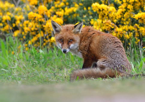
Red Fox (c) Gary Vause, YNU
This dataset also took some additional steps to clean and prepare for inclusion in our reporting database. Firstly, several records had to be removed from the dataset. Unfortunately, the nature of the source of the records meant that domesticated species, including a large number of cats and dogs, were included as road casualties, which then had to be removed. The spatial reference given for the records was given in the format of eastings and northings, which we then had to convert to grid references to match our database standards. Once converted, the records were mapped in GIS using the TomBio plugin to double-check the location of all records an identify any errors in the spatial references, plus allow us to easily exclude any records which extended over our LERC border.
We also had to add some additional information based on the spreadsheet provided to us, to ensure the basic fields required for our records were complete. As the records provided weren’t in the format of our standard recording form, no location information (a text field describing the location or site in question) was provided. Mapping the records therefore allowed us to fill in this information ourselves, completing the basic fields we require. Location information not only makes records easier to interpret for data users (as opposed to a grid reference only), but is also important during data preparation and verification as a method to more easily detect discrepancies and errors in spatial references.
Lastly, this was a dataset with a particularly large range of record types, including road casualties, live sightings, spraint, footprints, roosts, setts, and more. Care had to be taken to examine additional information provided by National Highways in their original data submission to correctly match each record to its record type.
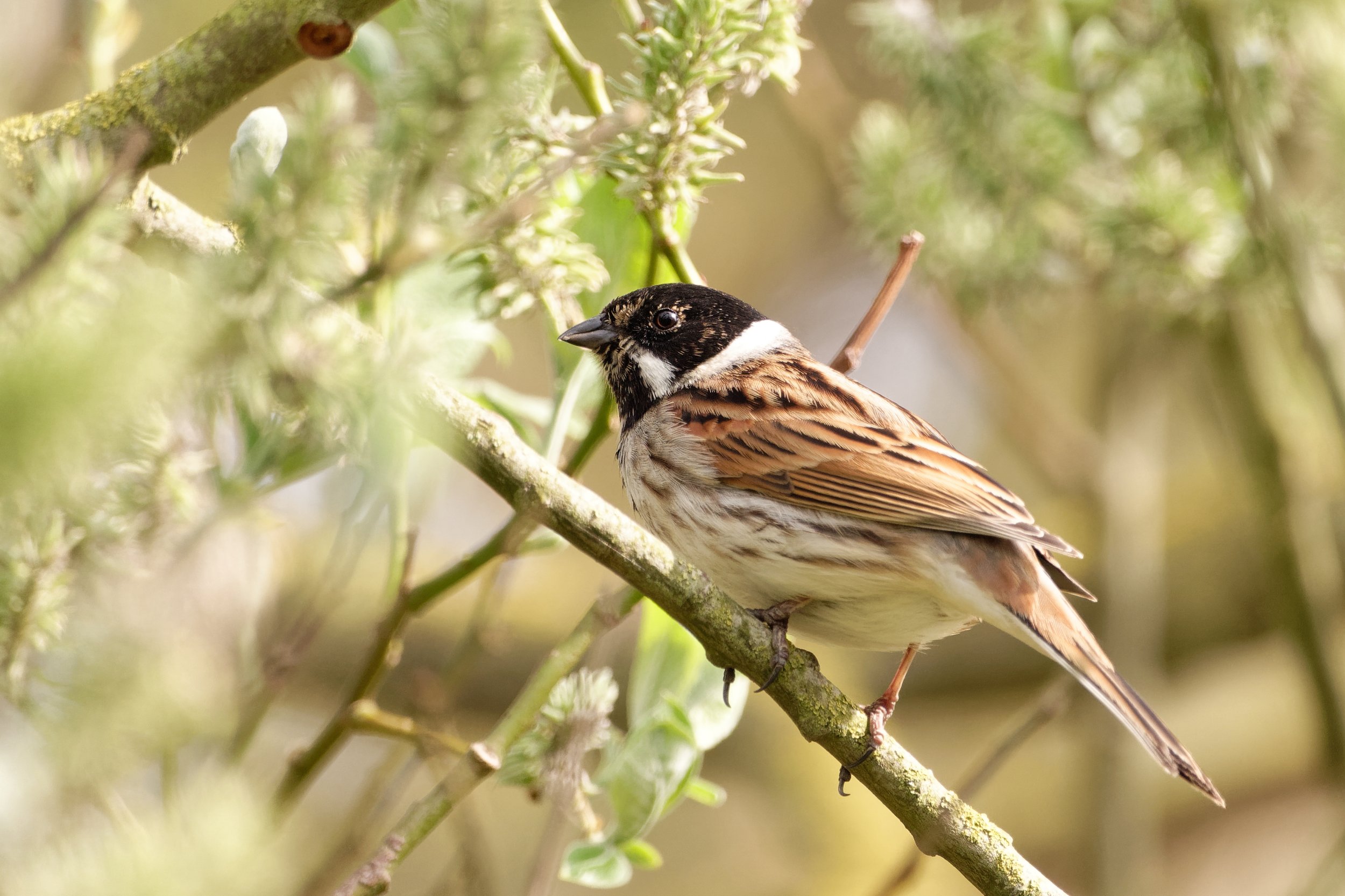
Reed Bunting
This example illustrates one of the more unusual routes by which we receive data, and highlights the range of species records that can be gleaned from an environment or source not directly linked to biological recording. In reality, those working out along our roads have a unique opportunity to see and record a range of species either as part of their work, or incidentally. The result is a large dataset of interesting species records, many of which fall under the umbrella of notable, protected, and priority species – a welcome addition to our database.